


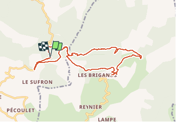
Le Castellard/Tour de la Roche des brigands

francisdean
User

Length
10.5 km

Max alt
1256 m

Uphill gradient
444 m
Km-Effort
16.4 km

Min alt
1048 m

Downhill gradient
438 m
Boucle
Yes
Creation date :
2020-08-20 06:56:23.679
Updated on :
2020-11-11 18:09:54.55
5h02
Difficulty : Medium

FREE GPS app for hiking
 SityTrail
IGN / Geographical institutes
SityTrail Plus
The world is yours!
About
Trail Walking of 10.5 km to be discovered at Provence-Alpes-Côte d'Azur, Alpes-de-Haute-Provence, Le Castellard-Mélan. This trail is proposed by francisdean.
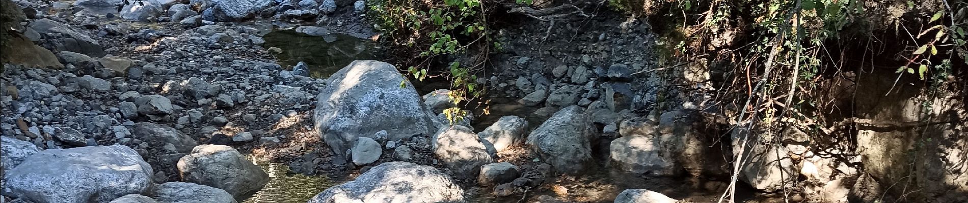
Photos


21 photos in total. Please click on a photo to see them all in the gallery.
Positioning
Country:
France
Region :
Provence-Alpes-Côte d'Azur
Department/Province :
Alpes-de-Haute-Provence
Municipality :
Le Castellard-Mélan
Location:
Unknown
Start:(Dec)
Start:(UTM)
272361 ; 4898196 (32T) N.
Comments